Features are things on the surface of the earth that are represented by lines (arcs), polygons and points.
Arcs represent linear features such as streets, rivers and railroads. This example displays all three of these linear features.Polygons represent areas enclosed by specific boundaries, such as counties, cities, land parcels and police reporting districts. This example displays the police dispatch districts polygon which is shaded in gray which include police reporting districts polygons 321 through 325 bounded by the dash/dot arcs in black.
Points represent features found at discrete locations, such as light poles, sewer manholes, trees, radio towers and also general locations that have area (such as a building) but which is not displayed as a polygon. This example displays general locations of two apartment complexes in red and one nursing home in blue.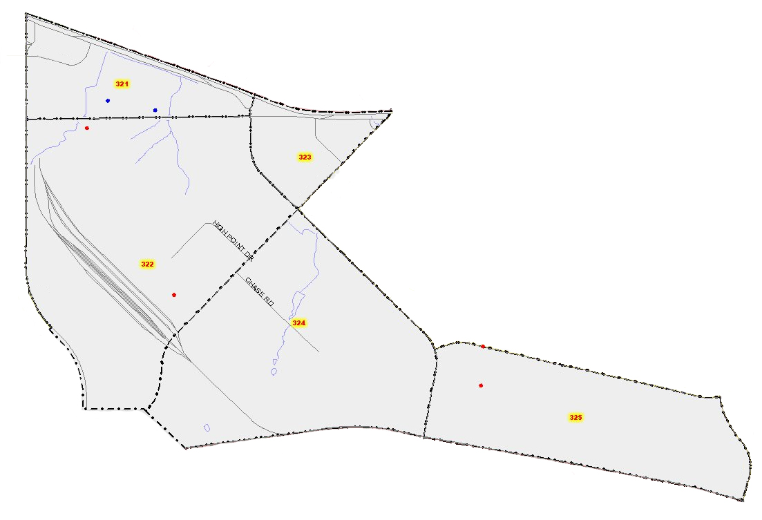